Design Highlights
- Many Americans underestimate their flood risk due to outdated FEMA maps, leading to inadequate insurance coverage.
- 25% of flood claims arise from low-risk zones, misleading residents into believing they are safe from flooding.
- Only 35% of flood damage is insured, with a significant underinsurance gap leaving homeowners financially vulnerable.
- Marginalized communities face heightened flood risks and recovery challenges, often near toxic flood-prone areas.
- The projected 26% increase in flood costs over 30 years emphasizes the urgent need for flood risk awareness and preparedness.
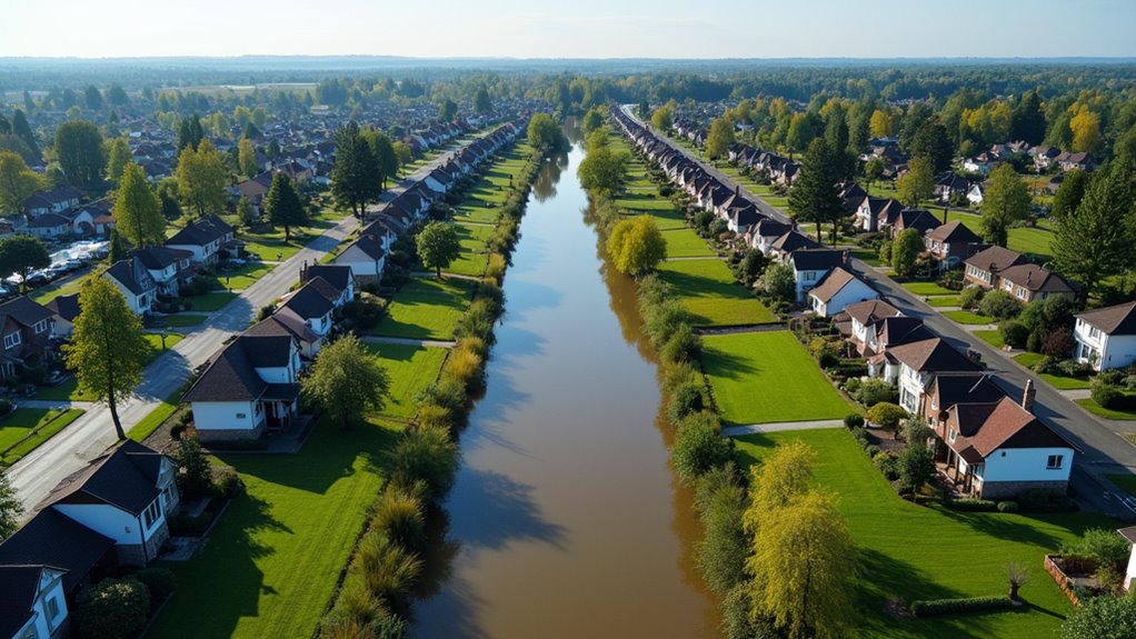
Flood risk is no longer just a distant worry for a few unlucky homeowners; it’s a looming crisis that’s here and getting worse. The numbers are staggering. Currently, annual flood costs in the U.S. exceed $32 billion. That’s a hefty bill, and it’s projected to rise by 26% over the next 30 years. Yet, many Americans remain blissfully unaware of their own flood risk. An analysis by the First Street Foundation reveals that a whopping 6 million households underestimate or are completely oblivious to their flood exposure. How’s that for a reality check?
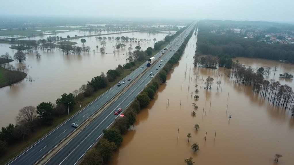
The Federal Emergency Management Agency (FEMA) isn’t helping much either. Their maps have been shown to underestimate inland flooding, leaving over 400,000 homes in the southeast and central southwest at risk. It gets even crazier: 25% of flood claims come from areas that are considered “low-risk.” People living in these zones often think they’re safe, but they’re anything but. They’re rolling the dice with their homes and wallets.
FEMA’s maps underestimate inland flooding, leaving 400,000 homes at risk—many in “low-risk” zones rolling the dice with their safety.
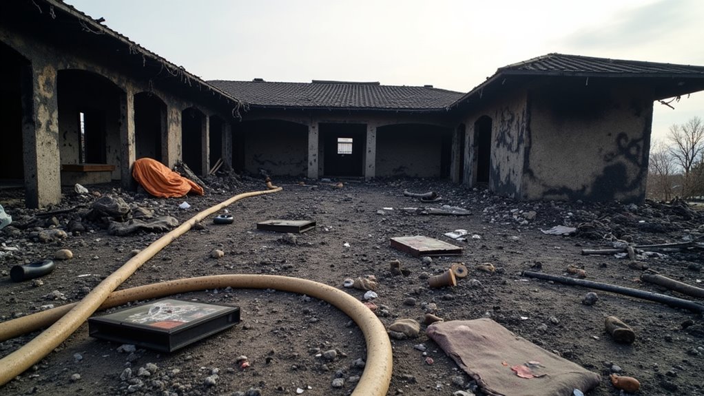
Then there’s the underinsurance gap. From 2010 to 2023, floods caused a staggering $144 billion in damages, but only $50 billion of that was insured. That’s just 35%. So, what happens when the next flood hit? Spoiler alert: financial ruin. Borrowers in these underestimated areas are often low-income, making it even harder for them to recover. By 2050, annual financial losses are expected to rise by 27.6% nationwide, and Georgia alone will see a jaw-dropping 147% increase in flood losses. New flood-risk maps can help highlight these vulnerabilities and improve awareness of the impending dangers. Flood risk in the U.S. is 67% higher than previous estimates, reflecting the urgent need for reassessment of how we understand and prepare for these challenges. Making matters worse, standard homeowners policies don’t cover flood damage at all, forcing homeowners to purchase separate flood insurance that can cost between $700 and $1,200 annually.
Regions like Appalachia and the Gulf Coast are bearing the brunt of this crisis, while the Northeast has seen a 150% increase in high-tide flood days since 2000. Boston is bracing for 12-19 high-tide flood days in just a couple of years. Meanwhile, Atlanta’s metro population exposure to floods is projected to skyrocket by 236% by 2050.
What’s the common thread here? It’s the highly concentrated risk among marginalized communities, particularly in impoverished and mainly African American neighborhoods. They are often situated near toxic flood-risk sites, compounding their vulnerability.
In short, flood risk is sneaking up on America. People are underestimating it, and insurance companies are cashing in on the ignorance. It’s a recipe for disaster—one that’s already playing out in real-time.