Design Highlights
- AI aerial and geospatial tools enhance risk assessment by integrating satellite and drone imagery for accurate property condition evaluations.
- Automation in underwriting processes reduces manual workloads and identifies high-risk locations, streamlining customer pre-screening efforts.
- Remote damage assessments using geospatial data expedite claims processing, leading to quicker resolutions and improved fraud detection.
- Over half of routine property claims are projected to be processed automatically with AI, enhancing overall efficiency in the insurance industry.
- The integration of advanced technologies signifies a shift away from traditional practices, improving exposure evaluations in high-risk sectors.
In a world where insurance is often seen as boring and bureaucratic, AI aerial and geospatial tools are shaking things up—big time. The geospatial imagery analytics market is on a wild ride, projected to skyrocket from $15.62 billion in 2023 to a staggering $109.84 billion by 2030. That’s a 32.1% CAGR, which might sound like gibberish to some, but it means serious money for those in the know. The insurance and finance sectors are stepping up as the top consumers of Earth observation data, expected to pull in over $1 billion in revenue by 2031.
AI and geospatial tools are revolutionizing insurance, with the market set to soar from $15.62 billion to $109.84 billion by 2030!
If that doesn’t get your attention, consider this: AI’s value in the global insurance market is set to leap from $10 billion to a jaw-dropping $80 billion by 2032.
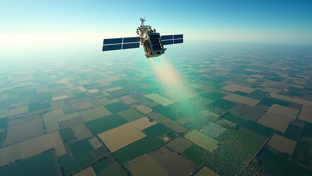
But why the sudden interest? Well, a surge in extreme climate events and rampant urbanization isn’t just changing weather patterns; it’s forcing insurers to adapt. Enter AI-powered image analysis. This tech evaluates everything from property conditions to disaster risk modeling. Need to assess flood susceptibility? AI can measure the distance from water bodies using up-to-date maps. It’s like having a super-intelligent neighbor who knows all about crime stats and previous claims—except this neighbor is data-driven. Integration of AI and machine learning with geospatial data is becoming increasingly important for insurers to enhance their risk assessment capabilities. The finance industry is predicted to be the top consumer of Earth observation data in the next decade, which highlights the growing reliance on these technologies.
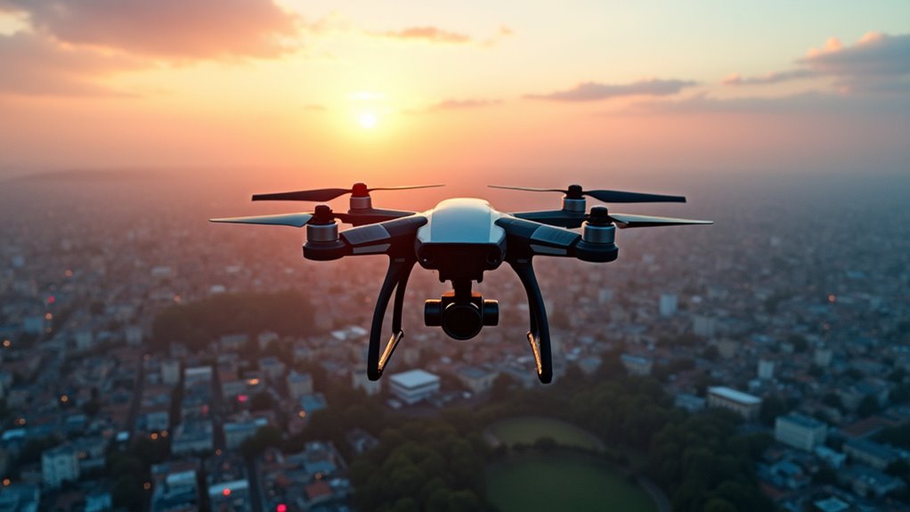
Underwriting has also been transformed. With geocoder inputs, insurers can assess risk profiles and calculate scores faster than you can say “policy rates.” They’re integrating satellite, drone, and ground-level data, automating initial risk assessments to cut down on manual workloads. This isn’t just about efficiency; it’s about identifying high-risk locations and filtering out potential bad customers before they even enter the system. The result? A whopping $43 billion reduction in uninsured flood risk thanks to better data analytics. High-risk industries may face additional mandatory requirements as insurers leverage these advanced tools to evaluate exposure more accurately.
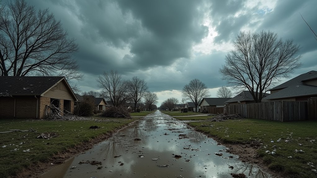
Claims processing is getting a tech makeover too. Forget waiting around for adjusters. Satellite and drone imagery enable remote damage assessments and fraud detection, speeding up the whole process. By 2030, over half of routine property claims will be automatically processed with AI. It’s like having a claims department that doesn’t sleep or take coffee breaks.
In the end, AI aerial and geospatial tools are changing the game in insurance. They’re not just buzzwords; they’re reshaping risk assessment, underwriting, and claims validation. The future looks bright—or at least less boring—as insurers embrace this tech. The question is: Will they keep up?