Design Highlights
- Updated flood maps reflect current data, ensuring accurate representation of flood risks in Franklin County.
- Community input during public reviews helps address local concerns and improves floodplain standards.
- Participation empowers residents to influence flood risk boundaries and insurance requirements for mortgages.
- Engaging in discussions during the review process can enhance community safety and preparedness for potential flooding.
- Your voice matters; not participating means others will shape the future of local flood risk management.
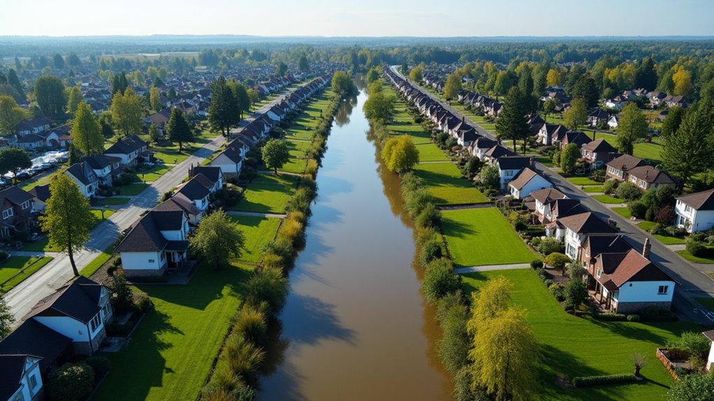
Franklin County is gearing up for a significant public review of its new flood maps, and let’s just say, it’s about time. These maps are not just a bunch of lines drawn on paper. They tell you where your home might end up if Mother Nature decides to throw a tantrum.
The Federal Emergency Management Agency (FEMA) has been busy publishing flood maps for over 750 communities in Ohio, and Franklin County is one of them. These maps identify areas at risk of a 1%-annual-chance flood, aka the base flood.
We’re talking about Flood Insurance Rate Maps (FIRM) that lay out floodplain boundaries and Base Flood Elevations (BFE). It’s essential information. The Ohio Department of Natural Resources (ODNR) is the state coordinator for the National Flood Insurance Program (NFIP), ensuring that the flood maps reflect accurate data, including major highways, lakes, and waterways.
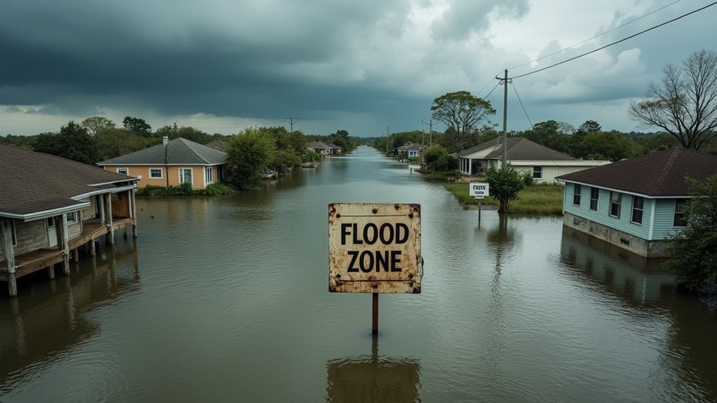
However, the current FIRM for Franklin County is dated 2021. That’s right, folks—2021! The last flood insurance rate map update was in June 2008 for incorporated areas. Do you think that’s a bit outdated? You bet. The regulations that keep Franklin County eligible for the NFIP date back to September 26, 1978. That’s before the internet!
The current flood maps for Franklin County are so outdated they predate the internet! It’s time for an upgrade.
It’s time for a refresh. A public review gives community members like you a chance to voice concerns, ask questions, and provide input. After all, these maps aren’t just for fun. They’re used by lenders to determine if you need flood insurance for your mortgage. If you don’t want your loan officer to suddenly turn into a flood insurance salesman, you better pay attention. FEMA’s Flood Map Service Center provides access to updated flood risk products that can help inform your understanding of local flood hazards.
The process of updating these maps involves Letters of Map Change (LOMC), which can kick in due to shifts in gage records or peak discharge differences. If significant changes occur, the maps must also change. This is part of the map update process that ensures flood risks are accurately reflected.
And guess what? If you’re not involved in the public review, you’re letting someone else decide your flood risks. FEMA encourages local adoption of higher floodplain standards. If you think your neighborhood is at risk, speak up! Your input affects the final map adoption.
Don’t wait for the floodwaters to reach your doorstep. Get involved. Make your voice heard. This isn’t just another boring meeting—it’s about your home, your community, and your safety. So, mark your calendars and don’t miss out on this chance to make a difference.